

Directions
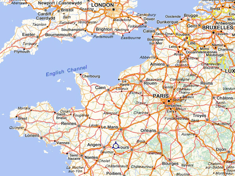
The Château is located in the Loire region, between Angers, Tours and Le Mans. It is easy to get there by road, rail or airplane.
Maps of the surrounding areas
-
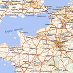
National-scale map -
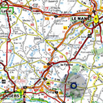
Regional-scale map -
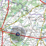
Local-scale map
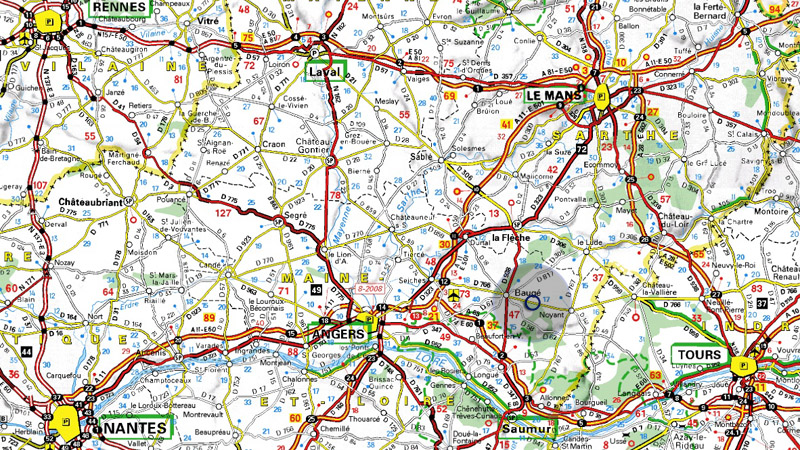
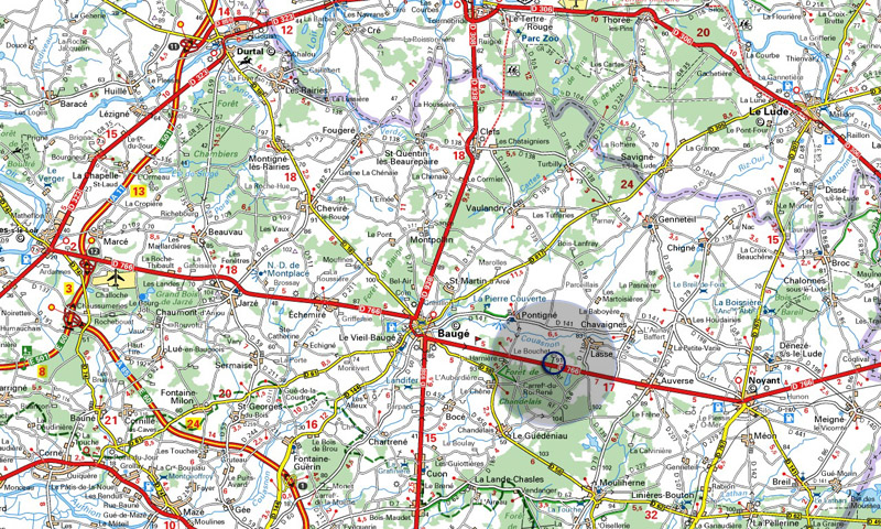
Driving directions
The Château is located on road D766, halfway between Baugé and Noyant. The entry is indicated by a sign easily visible when coming from both ways.
Access by train
The nearest SNCF train stations are Tours and Angers. Please give us your schedule in advance so we can send a car to pick you up when you arrive.
Access by plane
The Angers airport has few international flights ; the Tours airport has flights to and from London, Dublin, Porto, Marseille and Corsica.
----------